Biber-Biberbrugg, Rothenthurm
Station hydrométrique
Périmètre protégé sur la carte nationale
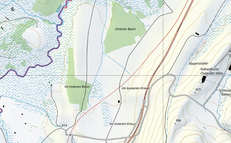
Situation et environs
Biber-Biberbrugg est répertorié dans l’inventaire fédéral comme station hydrométrique. Le site se trouve près de Rothenthurm dans le canton de SZ. Dans un rayon de 25 kilomètres se trouvent 8 autres sites protégés. Les données proviennent de l’inventaire fédéral et sont mises à jour à chaque révision.
À proximité
Altmatt-Biberbrugg, Rothenthurm Haut-marais · 0 km
Altmatt-Biberbrugg, Rothenthurm Bas-marais · 0 km
Ägeriried (Rothenthurm), Rothenthurm Réserve naturelle · 0 km
Biber im Ägeriried, Rothenthurm Zone alluviale · 1 km
Altmatt/Ägeriried, Rothenthurm Bas-marais · 1 km
Erlen, Rothenthurm Bas-marais · 1 km
Rothenthurm, Rothenthurm Paysage marécageux · 1 km
Moorlandschaft zwischen Rothenthurm und Biberbrugg, Bennau Paysage IFP · 1 km
Questions fréquentes
Où se trouve Biber-Biberbrugg?
Biber-Biberbrugg se trouve près de Rothenthurm dans le canton de SZ. Les coordonnées sont 47.1244, 8.6869.
Biber-Biberbrugg est-il protégé?
Oui. Le site figure à l’inventaire fédéral et est donc d’importance nationale.
À quelle commune appartient Biber-Biberbrugg?
Biber-Biberbrugg se trouve près de Rothenthurm (SZ). La page de la localité réunit tous les sites protégés autour de Rothenthurm.
Quels sites protégés se trouvent près de Biber-Biberbrugg?
Les plus proches sont Altmatt-Biberbrugg (0 km), Altmatt-Biberbrugg (0 km) et Ägeriried (Rothenthurm) (0 km).