Limmat-Zürich, Unterhard, Innerthal
Station hydrométrique
Périmètre protégé sur la carte nationale
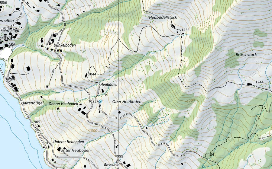
Situation et environs
Limmat-Zürich, Unterhard est répertorié dans l’inventaire fédéral comme station hydrométrique. Le site se trouve près de Innerthal. Dans un rayon de 25 kilomètres se trouvent 8 autres sites protégés. Les données proviennent de l’inventaire fédéral et sont mises à jour à chaque révision.
À proximité
Schwarzeneggehöchi/Hinter Gwürz, Innerthal Bas-marais · 1 km
Eggenwald, Innerthal Prairie sèche · 2 km
Stöckplanggen, Siebnen Prairie sèche · 3 km
Gnossenweid/Mutzenwald, Vorderthal Bas-marais · 3 km
Ahornen, Näfels Prairie sèche · 3 km
Nördlich Eggstofel, Innerthal Bas-marais · 4 km
Rossweid, Siebnen Bas-marais · 4 km
Salzläcki, Innerthal Bas-marais · 4 km
Questions fréquentes
Où se trouve Limmat-Zürich, Unterhard?
Limmat-Zürich, Unterhard se trouve près de Innerthal. Les coordonnées sont 47.1037, 8.9285.
Limmat-Zürich, Unterhard est-il protégé?
Oui. Le site figure à l’inventaire fédéral et est donc d’importance nationale.
À quelle commune appartient Limmat-Zürich, Unterhard?
Limmat-Zürich, Unterhard se trouve près de Schübelbach. La page de la localité réunit tous les sites protégés autour de Schübelbach.
Quels sites protégés se trouvent près de Limmat-Zürich, Unterhard?
Les plus proches sont Schwarzeneggehöchi/Hinter Gwürz (1 km), Eggenwald (2 km) et Stöckplanggen (3 km).