Ägeriried (Rothenthurm), Rothenthurm
Réserve naturelle
Périmètre protégé sur la carte nationale
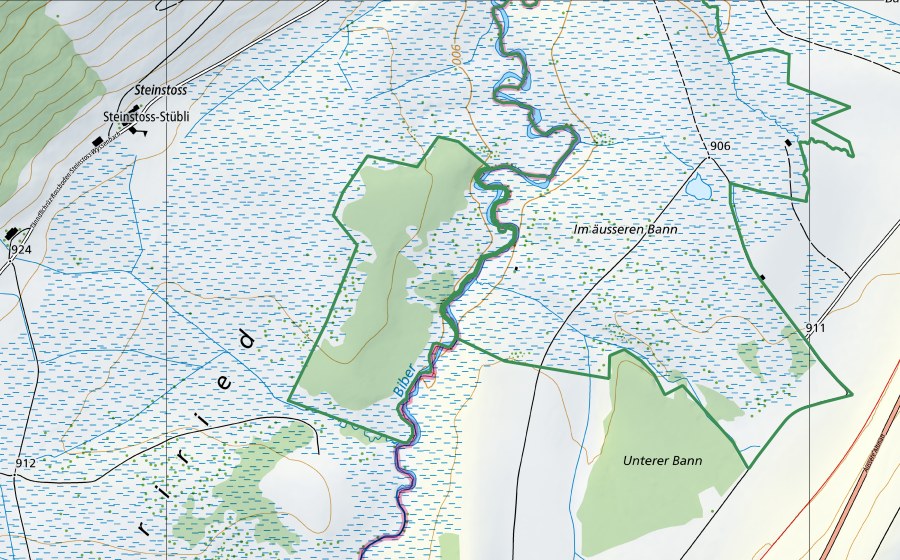
Situation et environs
Ägeriried (Rothenthurm) est répertorié dans l’inventaire fédéral comme réserve naturelle. Le site se trouve près de Rothenthurm dans le canton de SZ. Dans un rayon de 25 kilomètres se trouvent 8 autres sites protégés. Les données proviennent de l’inventaire fédéral et sont mises à jour à chaque révision.
À proximité
Biber im Ägeriried, Rothenthurm Zone alluviale · 0 km
Altmatt-Biberbrugg, Rothenthurm Haut-marais · 0 km
Altmatt/Ägeriried, Rothenthurm Bas-marais · 1 km
Biber-Biberbrugg, Rothenthurm Station hydrométrique · 1 km
Rothenthurm, Rothenthurm Paysage marécageux · 1 km
Altmatt-Biberbrugg, Rothenthurm Bas-marais · 1 km
Moorlandschaft zwischen Rothenthurm und Biberbrugg, Bennau Paysage IFP · 1 km
Erlen, Rothenthurm Bas-marais · 1 km
Questions fréquentes
Où se trouve Ägeriried (Rothenthurm)?
Ägeriried (Rothenthurm) se trouve près de Rothenthurm dans le canton de SZ. Les coordonnées sont 47.1293, 8.6834.
Ägeriried (Rothenthurm) est-il protégé?
Oui. Le site figure à l’inventaire fédéral et est donc d’importance nationale.
À quelle commune appartient Ägeriried (Rothenthurm)?
Ägeriried (Rothenthurm) se trouve près de Rothenthurm (SZ). La page de la localité réunit tous les sites protégés autour de Rothenthurm.
Quels sites protégés se trouvent près de Ägeriried (Rothenthurm)?
Les plus proches sont Biber im Ägeriried (0 km), Altmatt-Biberbrugg (0 km) et Altmatt/Ägeriried (1 km).