Mont Vully, Lugnorre
BLN landscape
Protected perimeter on the national map
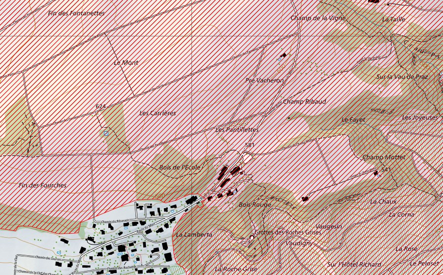
Location and surroundings
Mont Vully is a bln landscape in Switzerland. The site lies near Lugnorre. Within 25 kilometres there are 8 further protected sites. The figures come from the federal inventory and are updated at each revision.
Nearby
Champ Ribaud, Sugiez Dry meadow · 1 km
Prähistorische Pfahlbauten um die Alpen, Môtier (Vully) UNESCO World Heritage · 1 km
Plan Châtel, Sugiez Dry meadow · 1 km
Nant-Dessus, Sugiez Dry meadow · 1 km
Sugiez, Sugiez Dry meadow · 2 km
Fanel jusqu'à Chablais de Cudrefin, Pointe de Marin (BE,FR,VD,NE), Gampelen Water bird reserve · 3 km
Grèves du lac de Morat, Galmiz Fen · 3 km
Chenevières de Guévaux, Mur (Vully) VD Nature reserve · 3 km
Frequently asked questions
Where is Mont Vully?
Mont Vully lies near Lugnorre. The coordinates are 46.9566, 7.0852.
BLN landscape: what is it?
BLN objects are landscapes of national importance, chosen for their character and beauty.
Is Mont Vully protected?
Yes. The site is listed in the federal inventory and is therefore of national importance.
Which town is Mont Vully in?
Mont Vully lies near Mont-Vully. The town page collects every protected site around Mont-Vully.
Which protected sites are near Mont Vully?
The closest are Champ Ribaud (1 km), Prähistorische Pfahlbauten um die Alpen (1 km) and Plan Châtel (1 km).