Rhein-Basel, Klingenthalfähre, Root
Hydrological station
Protected perimeter on the national map
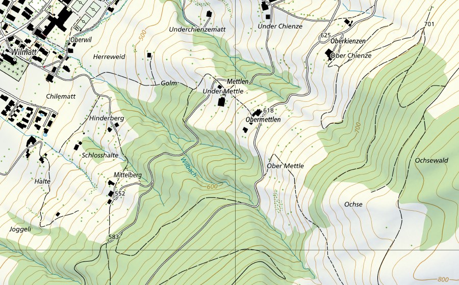
Location and surroundings
Rhein-Basel, Klingenthalfähre is a hydrological station in Switzerland. The site lies near Root in the canton of LU. Within 25 kilometres there are 8 further protected sites. The figures come from the federal inventory and are updated at each revision.
Nearby
Staudenschachen Südarm, Root Amphibian spawning site · 1 km
Gütsch/Feldhof, Gisikon Amphibian spawning site · 2 km
Unterallmend, Perlen Amphibian spawning site · 2 km
Unterallmend Perlen, Perlen Fen · 2 km
Wannenholz, Gisikon Amphibian spawning site · 3 km
Bannwald, Udligenswil Nature reserve · 3 km
Binzmüli, Rotkreuz Amphibian spawning site · 4 km
Burgschachen, Buchrain Amphibian spawning site · 4 km
Frequently asked questions
Where is Rhein-Basel, Klingenthalfähre?
Rhein-Basel, Klingenthalfähre lies near Root in the canton of LU. The coordinates are 47.1119, 8.4002.
Is Rhein-Basel, Klingenthalfähre protected?
Yes. The site is listed in the federal inventory and is therefore of national importance.
Which town is Rhein-Basel, Klingenthalfähre in?
Rhein-Basel, Klingenthalfähre lies near Root (LU). The town page collects every protected site around Root.
Which protected sites are near Rhein-Basel, Klingenthalfähre?
The closest are Staudenschachen Südarm (1 km), Gütsch/Feldhof (2 km) and Unterallmend (2 km).